Mission planning and photogrammetric survey
08Aerial data for technical decisions
Drones and Aerial Solutions
Mapping, inspection, monitoring, 3D models and precision measurements.
We produce high-quality data from aerial surveys and imagery to support decisions in construction, oil and gas, topography, agriculture, environment, mining and infrastructure.
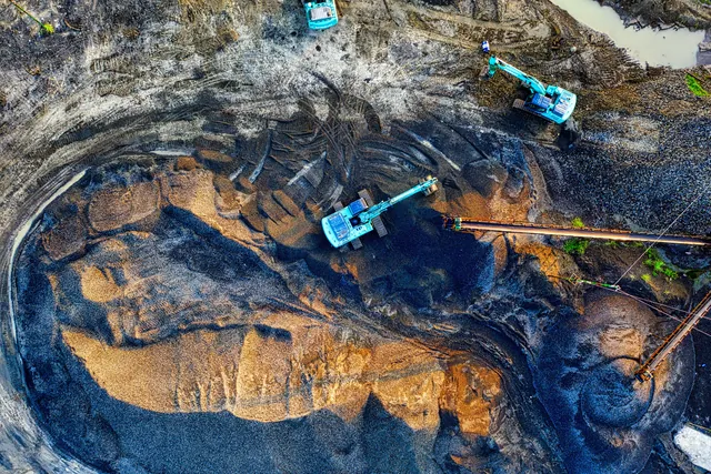
Solution tailored to the project
Capabilities
What can form part of the scope.
Final configuration is confirmed after assessing volumes, processes, systems, risks, users and service levels.
RGB, thermal or other sensors according to project needs
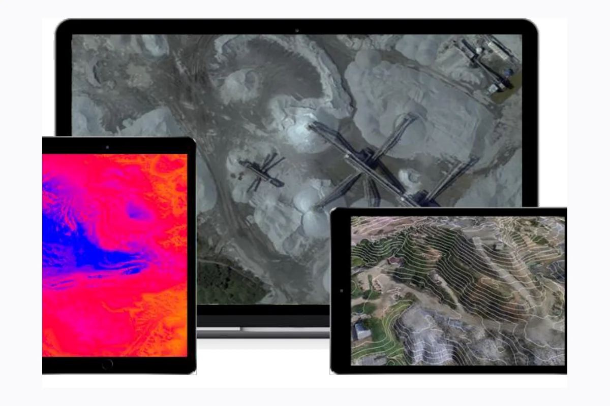
Orthomosaics, digital surface and terrain models
2D/3D models, point clouds, maps and technical reporting
Visual and thermal inspection of hard-to-reach areas
Area, distance and volume calculations and progress monitoring
Expected outcomes
Expected operational value
Faster and repeatable surveys
Lower exposure of people to hazardous areas
Georeferenced visual records for comparison
Technical data for planning, measurement and maintenance
Technical deliverables
Imagery converted into models, measurements and evidence.
- Orthomosaics and georeferenced maps
- Digital models and point clouds
- Area, distance and volume measurements
- Inspection and progress reports
How we work
A clear path with decisions and evidence.
01
Scope and safety
Objective, area, resolution, risks, permissions, access and flight conditions.
02
Acquisition
Flight planning, ground control where applicable, sensors and field verification.
03
Processing
Photogrammetry, alignment, georeferencing, models, measurements and quality control.
04
Delivery
Maps, models, technical files, report, observations and recommendations.
Applicable industries
Applications by context.
The list is indicative. Final design is based on the actual operation and requirements.
ConstructionOil and gasMiningTopographyAgricultureEnvironment and infrastructure
References and good practices
Responsible scope and verifiable claims.
Every operation depends on site assessment, risk, weather, airspace, permissions and client requirements. Accuracy is defined by method, sensor, field control and acquisition conditions.
Initial assessment
Request a proposal Let’s size this solution for your organisation.
Share the context, volumes, objectives, existing systems and target timeline.